5. BBC (BBI) 2011 Summer Testing Results, August 2011
http://aboutus.aju.edu/uploadedFiles/Updates1/BBC_BCI_2011_Summer_Testing_Results_August_2011.pdf
4 pp
[ER NOTE: Old well campsite NOT tested for tritium in the water after 2006 discovery.]
P. 1/4: “Also tested were natural springs on the property, which are sometimes used for watering livestock.”
P. 1/4:
“Tritium is the most mobile of the radioactive elements found at Boeing. It has been found in groundwater and vegetation near the property line. Testing is done to gauge its movement in groundwater, which is toward BBC. Results only show tritium in one spring in the southwest comer of the property (see map, Figure 1, location: “Springs”). The level measured is 16 picocuries per liter of water (pCi/L). This compares to 69 pCi/L measured from this same spring in 1995. The reduction over this period is consistent with Boeing’s test data. The drop is due to two factors: radioactive decay of tritium and dispersion of tritium in the groundwater. These measured levels are safe; they are well below the drinking water limit (20 000 pCiL).” [ORIGINAL AJU HIGHLIGHTING]
[ER NOTE: Same paragraph as in 2012 report but highlighted differently.]
p. 2/4
CONCLUSIONS AND RECOMMENDATIONS
The only change observed in this summer’s testing is a reduction in the levels of tritium in groundwater. Tritium was released by Boeing decades ago and levels are slowly dropping. Although the groundwater is not used for human consumption, the tested locations are safe for drinking.
[ER NOTE: Cehn confirmation of Boeing contamination in Brandeis-Bardin groundwater.]
6. BBC (BBI) 2009 Winter Testing Results, January 2010
http://aboutus.aju.edu/uploadedFiles/Updates1/BBC_BCI_2009_Winter_Testing_Results_January_2010.pdf
[ER NOTE: Old well campsite NOT tested for tritium in the water after 2006 discovery.]
7. BBC (BBI) 2007 Summer Testing Results, July 2007
“>http://aboutus.aju.edu/uploadedFiles/Updates1/BBC_BBI_2007_Summer_Testing_Results_July_2007.pdf
7 pp
P. 1/7: “Vegetation did show low levels of perchlorate, but they are in line with area background levels.”
[ER NOTE: There is no “background level” of perchlorate for vegetables. It should be zero contamination.]
P. 1/7: “The lab did not test for tritium during this round.”
P. 1/7: “Perchlorate. As you know, perchlorate is pervasive in Southern California. I found a range of levels that seemed to depend on plant type. The highest level was in leaves from the Flower Garden. In the adjacent Main House citrus grove, levels were much lower. In the nearby Arness Grove, levels in apricot tree leaves were still lower. Background, measured earlier in a pepper tree in west Simi Valley, was about one-third less than the highest level detected at BBI, but was twice the average. Results are plotted in Figure 2.”
P. 3/7: Figure 2. Perchlorate in Plant Leaves
Flower Garden: ~78 ppb
Gan Area Garden: ~46 ppb
Main Gate Garden: ~22 ppb
Organic Garden: ~10 ppb
Background, Simi: 50 ppb
[ER NOTE: CA MCL for perchlorate is 6 ppb making these shocking readings. In a following year – 2015 Winter Testing Results – Cehn says testing plant leaves can accurately correspond to groundwater levels of contaminants. The Flower Garden is 13 times California’s perchlorate MCL.]
Also where did this “Background, Simi: 50 ppb” come from? Background for what? Leaves? Unlikely. This reporter has never seen any medium in Simi Valley determined to have a background of 50 ppb since my reporting began in 1998. And Cehn doesn’t seem to revisit the leaves in subsequent reports.]
P. 5/7: [ER NOTE: Old well campsite NOT tested for tritium in the water after 2006 discovery. Why wasn’t the tritium tested for?]
8. BBC (BBI) Testing Reports, May, 2006
http://aboutus.aju.edu/uploadedFiles/Updates1/BBC_BBI_Testing_Reports_May_2006.pdf
5 pp
P. 1/5: “Water and citrus (juice) samples were tested for tritium and only background levels were detected (10-30 pCi/L-groundwater background is lower.) Levels near the old property line are thousands of pCi/L; the drinking water limit is 20,000.”
[ER NOTE: “[G]roundwater background is lower” is correct. It is zero according to Cehn in latter reports. So detecting any tritium is significant, especially in citrus juice produced at Brandeis-Bardin. A 2014 Lawrence Livermore National Laboratory study shows that the tritium background in the Simi Valley area is closer to 0 pCi/L – zero]
P. 1/5: “Although no background vegetation samples were collected, the background milk result indicates that area cows are grazing on grass containing perchlorate. In general, cows bio-concentrate contaminants in the milk. Perchlorate appears to be pervasive in Southern California and Arizona.”
[ER NOTE: We reported on this in Brandeis-Bardin’s Toxic Denial. Cehn is right about the cattle munching perchlorate-tainted vegetation and that the toxic rocket fuel oxidizer is pervasive in Southern California. What he leaves out is the obvious source of the contamination, the bordering SSFL where over 30,000 rocket tests, many with perchlorate, were fired off. The wording here is misleading.]
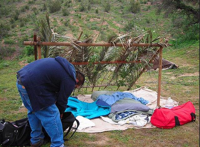
P. 4/5: Shows grid of results that says that The “Old well campsite” [OWC-2] had water tested positive for tritium at 29 pCi/L in 2006. The map on page 5/5 of this report appears to place the Old well campsite here.
[ER NOTE: This is down much farther into Brandeis-Bardin than tritium detected in camp highlands adjacent nuclear Area IV of SSFL. The distance of OWC-2 from the closest border with Area IV is approximately 1.4 miles to the northeast instead of to the northwest like the tritium in Brandeis-Bardin in its southwestern corner.]
Google map in terrain view showing SRE to OWC-2: https://www.google.com/maps/place/Santa+Susana+Field+Laboratory/@34.2423162,-118.7015815,1894m/data=!3m1!1e3!4m5!3m4!1s0x0:0x9c16b990c38478a4!8m2!3d34.2319335!4d-118.6960651
Working out scale on above map: 29.5 cm from SRE to OWC-2 with 2 cm = 500 feet therefore 29.5/2 x 500 = 7,375 feet or 7375/5280 = 1.4 miles
See 3A for more details: The 1,372-page report has a map on page 6 showing “Spring OS10” about 2/3rds of the way from the real OS-10 and what appears to be the Old Well campsite.]
P. 5/5: Map confirms EnviroReporter.com identification of location of “Old Well campsite.”
9. February 1997 Report
http://aboutus.aju.edu/uploadedFiles/Updates1/1997_FebCehn-Opinions%20Related%20to%20Enviro%20Contamination.pdf
14 pp with new AJU copy


Recent Comments